So . . . Tom says to Kent, "You plan the hike and I'll come along and do whatever you pick out." Tom should know better than that! After this hike, he might be more careful in his selection of words!
What did Kent pick, you might ask? Nothing out of the ordinary . . . just a little no name cinder cone that was within eyesight of HWY 14 and just a few miles north of Navajo Lake. Oh, did we fail to tell you that this cinder cone was completely surrounded by a lava field that stretched for close to a mile in all directions? Ah, that's the intrigue with this little mound of cinders. How many people have actually made it across the lava field and stood on its summit? Would we be one of the few to complete this arduous trek? And so the adventure began!
 |
| Maybe you've seen this information sign along HWY 14, near Navajo Lake . . . Have you ever stopped to read it or looked at the cinder cone in the distance? Maybe the next time you pass by this way, you will, but in an entirely different light after reading this post! (Click on the picture for a larger format if you're trying to read the signs) |
 |
| For perspective of what we were up against, we've inserted this screenshot from Google Earth (The picture is actually two shots spliced together, with one being taken in winter with snow on the ground) Now you can see the challenge! How do we cross this lava field without severely injuring ourselves? |
 |
| There she is. Hmm . . . those chunks of lava look a little more ominous from ground level! (Google Earth lies!) This might be more of a challenge than Kent had envisioned |
 |
| Along the way to our starting point we traveled by a large sink hole or possibly a collapsed volcanic vent |
 |
| Colorful amanita muscaria |
 |
| Let the adventure begin . . . Notice we're still working on getting our balance into some sort of rhythm (ha!) |
 |
| Hey, we're almost there! Only a little over a mile to go. |
 |
| A cool spider web |
 |
| Kent and Tom are up ahead . . . We all agreed that we would make a decision on this ridge whether we would continue or turn around |
 |
| After working our way through a bad section of lava, the cinder cone appears to have gotten farther away . . . How can that be! If we continue on, we're committed . . . Kent, what's the call? After all, this is YOUR hike! |
 |
| September just started and some of the aspen leaves are changing color |
 |
| Defeated! We decided to turn back and go with "Plan B" (Plan "B" was to climb Peak 9845 to the north of our trucks) |
 |
| Recent rains and forest decay make perfect conditions for fungi |
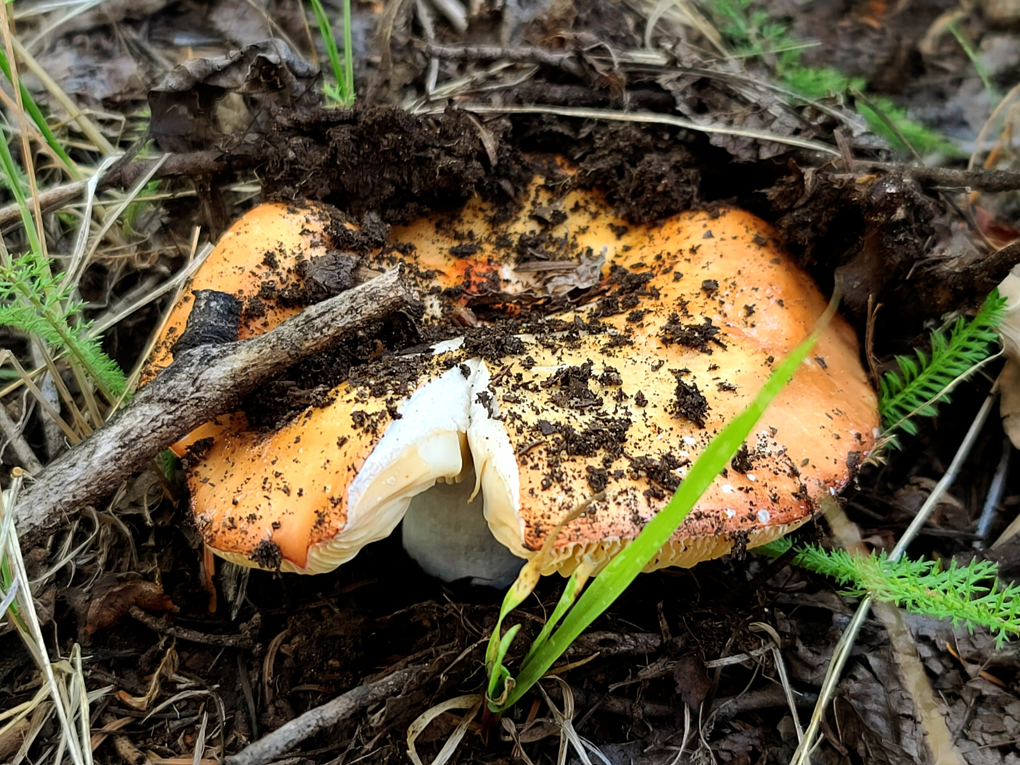 |
| A mushroom pushing its way up through the soil |
 |
| Almost to the top of Peak 9845 . . . We stopped to view the cinder cone that got the best of us |
 |
| As we descended Peak 9845, we came across this cute cabin . . . It was apparently built by a family who camps here often, as there was a picture of them inside |
 |
| As we headed back for the trucks we came across another sinkhole . . . It was probably created when the ceiling of a lava tube collapsed, causing the forest floor to give way |
 |
| We found a road that wasn't on our maps or GPS . . . this will get us back quickly |
 |
| Looking back at Peak 9845 (The one we actually made it to the top of!) |
Okay, so we didn't make it to the top of the cinder cone! Kent still hasn't given up on making it across the lava field . . . he's already begun working on an alternate route that will cut off almost half a mile. If we can make it to the top, we want to place a register and leave our blog card, asking others to contact us if they come upon it . . . we think it would be fun to see how many other "fools" are out there!